Geo Earth Mapping - GIS Services
Geo Earth Mapping provides GIS services for businesses, government sectors and non-profit organizations.
What Is GIS? (Geographic Information Systems)
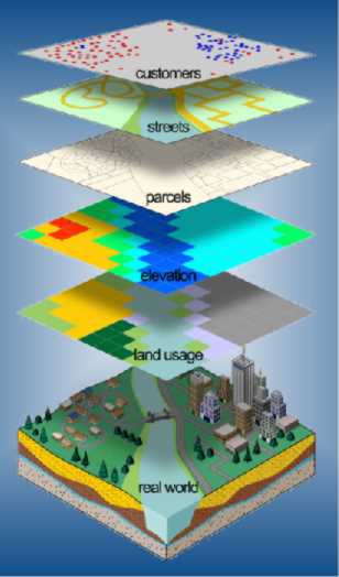
GIS is a computer system used for capturing, storing, checking, integrating, manipulating, analyzing and displaying data related to positions on the earth's surface. Typically, a Geographical Information System (or Spatial Information System) is used for manipulating map features with linked databases. These features may be represented as several different layers where each layer holds data about a particular kind of feature. Each feature is linked to a position on the graphical image of a map. Layers of data are organised in particular manner for study and statistical analysis.
GIS Analysis
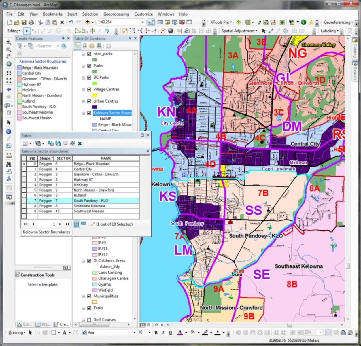
Various types of data sets, such as hydrology, road networks, urban mapping, land cover, and demographic data can contain a multitude of information about a specific feature...all tied together geographically to provide spatial context. In simplicity a geographic information system is a computer-based tool that maps and analyzes features and events that occur on the earth.
Example of GIS Layers